
BECO Infrastructure Topographical Survey
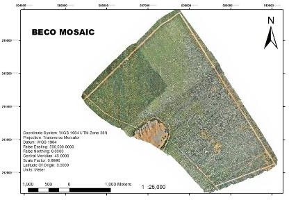
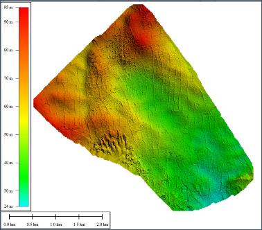
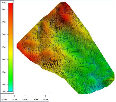
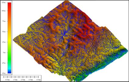
2,000 acres mapped for Banadir Electric Company — orthomosaics, DTM, and full drainage-network analysis.
GIS, drone/LiDAR, and satellite mapping that turns raw terrain into engineering-grade data, for the governments, NGOs, and developers who cannot afford to build on guesswork.






Six connected capabilities, each built on standards-compliant survey practice.
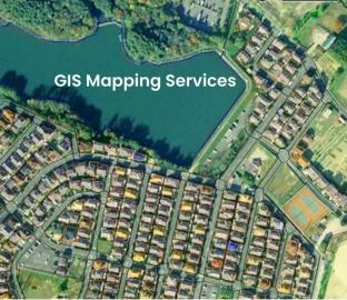
Spatial data capture, geodatabase development, and thematic mapping for land and infrastructure planning.
Learn more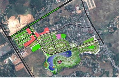
Physical planning for informal settlements, town plans, and cadastral survey implementation.
Learn more
UAV photogrammetry and LiDAR capture producing orthomosaics, DEMs/DSMs, and 3D terrain models.
Learn more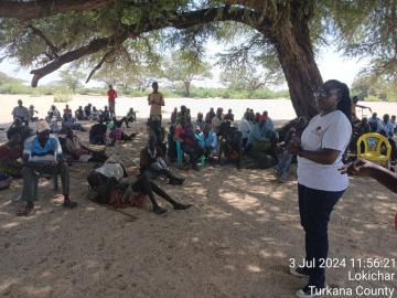
Participatory planning and engagement that secures land tenure and centres local voices.
Learn more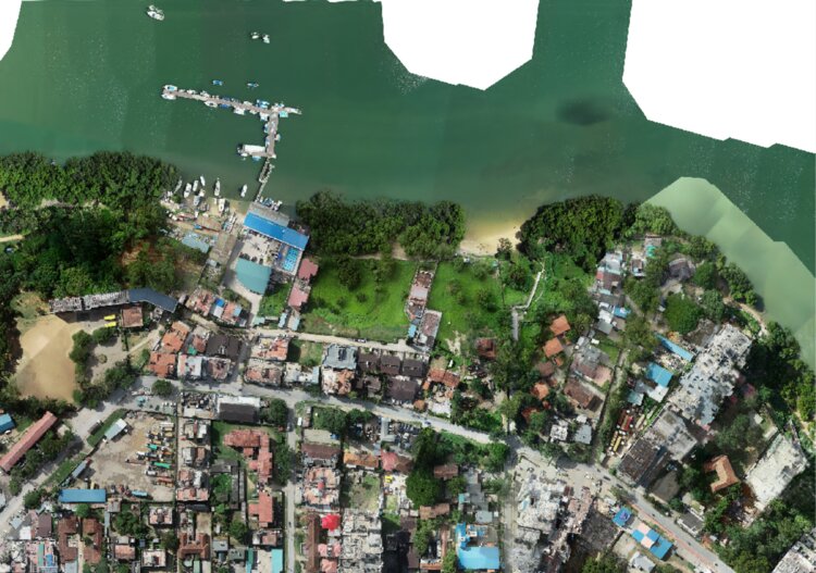
Hydrological, drainage, and volumetric analysis that supports resilient infrastructure.
Learn more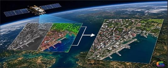
Remote sensing for large-area monitoring, land-use change detection, and resource mapping.
Learn moreThree flagship assignments across two countries. We have delivered more than twenty.
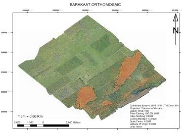
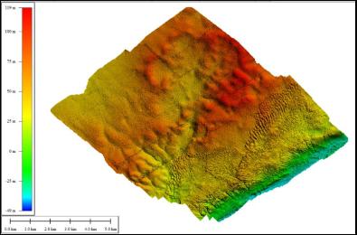
2,000 acres mapped for Banadir Electric Company — orthomosaics, DTM, and full drainage-network analysis.
18,000 acres surveyed for a new smart city — engineering-grade terrain and drainage modelling.
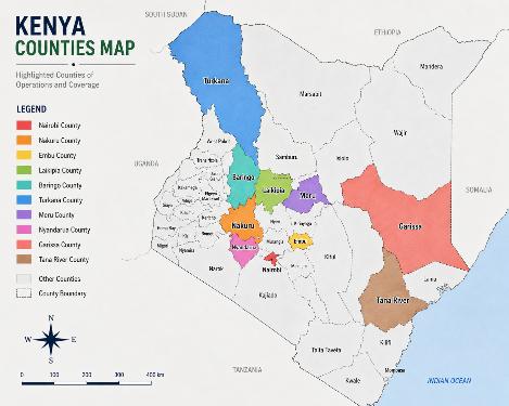
306 settlements mapped with Kenya's Ministry of Lands, directly supporting land tenure security.
Standards-compliant survey practice, KeNHA-tendered experience, and direct delivery under national programmes such as KISIP. Cadastral files, RIMs and PIDs, and engineering road profiles that meet the documentation bar for public procurement and audit.
A community-first field methodology. Engagement sessions come before survey work, settlement mapping is participatory, and outputs are designed to secure land tenure for underserved communities.
Fast, accurate turnaround on orthomosaics, DEMs/DSMs, and volumetric analysis. This is the engineering-grade base data that feeds directly into design, environmental impact assessment, and construction planning.
A mobile, licensed field team structured to stand up new-country operations and support multi-country donor or corporate programmes anywhere on the continent.
Whether it is a single-site cadastral survey or a multi-country mapping programme, our team brings field-proven precision and licensed technical capability to every assignment.