
Lodwar Town Water Supply Project
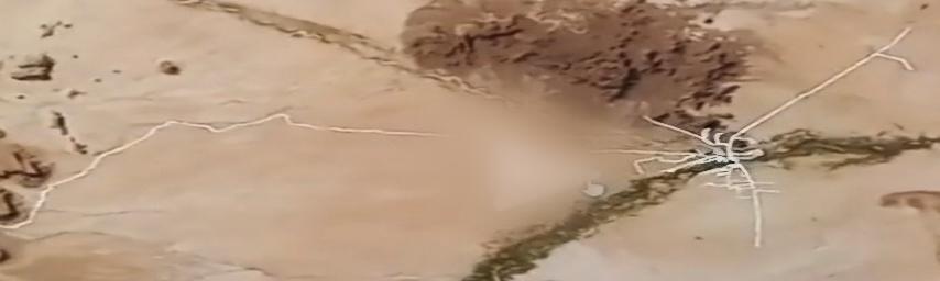
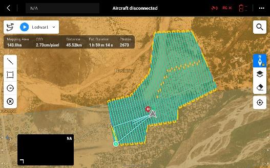
Supporting the feasibility study and detailed design for a new piped water network and dam station, mapping approximately 210km of road network within and connecting to Lodwar Town.
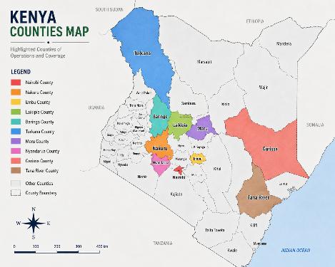
40,000+ acres mapped, 300+ settlements surveyed, across 15+ counties and regions. These are the projects behind those numbers.
12 projects
Mapped 2,000 acres set aside for infrastructure development, delivering orthomosaics, digital elevation models (DSM and DTM), contour maps, sand-dune volumetric analysis, and a full hydrological drainage-network study.
Project Lead — Topographical Survey & Aerial Mapping
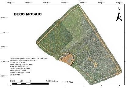
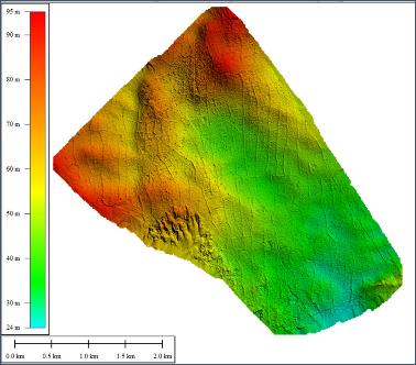
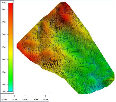
Mapped 18,000 acres set aside for a new smart city, delivering orthomosaics, DSM/DTM, contour maps, volumetric analysis, and a full hydrological drainage-network study.
Lead Topographical & Aerial Mapping Consultant
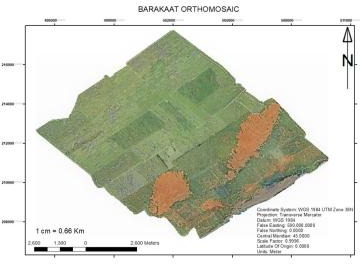
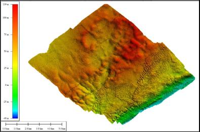
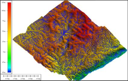
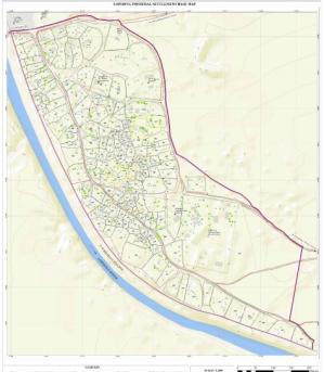
Produced thematic maps covering transportation, social amenities, physical infrastructure, environment, and settlement boundaries across 306 settlements — work that directly supports land tenure security.
Thematic mapping under the Kenya Informal Settlement Improvement Project
Supporting the feasibility study and detailed design for a new piped water network and dam station, mapping approximately 210km of road network within and connecting to Lodwar Town.
Captured high-resolution LiDAR and photogrammetry data across ten informal settlements, classifying point-cloud returns to separate ground, vegetation, and structures.
Lead Drone Pilot
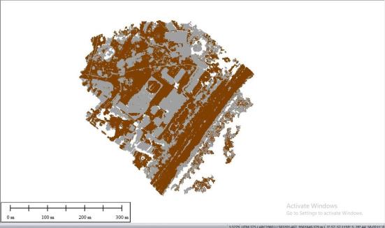
Captured high-resolution LiDAR and photogrammetry data along the 270km A8 highway corridor, generating seamless orthomosaics and digital elevation models.
Drone survey team lead
Delivered high-resolution LiDAR and photogrammetry data collection for the feasibility study, environmental and social impact assessment, and detailed engineering design of the 30km A4 road corridor.
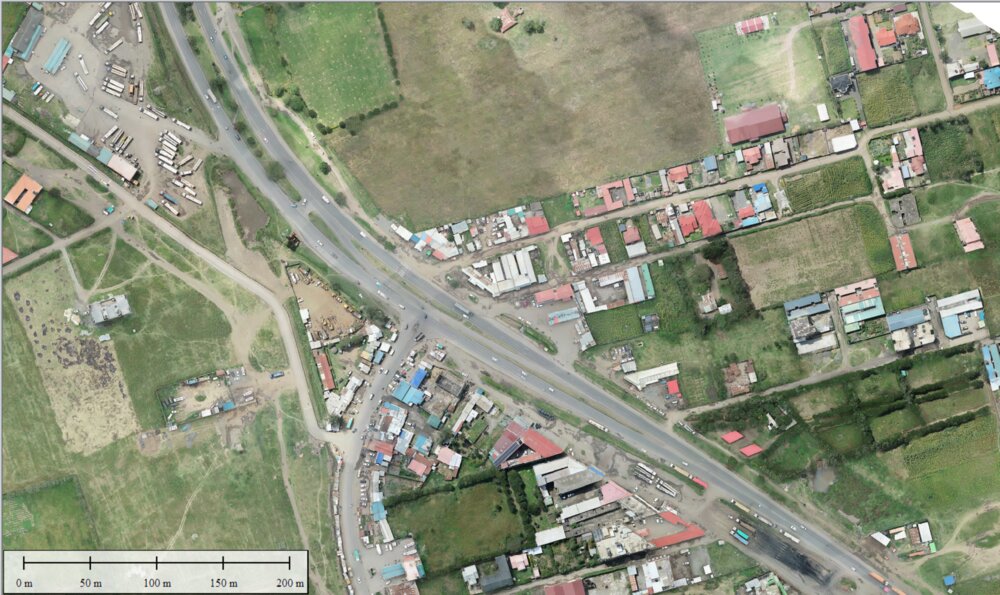
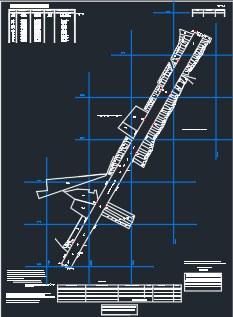
On this KeNHA-tendered road reserve and title survey we georeferenced existing RIMs and PIDs, digitized abutting parcels, generated beacon-placing data, and compiled cadastral files across the full 70km corridor.
GIS Expert
Captured aerial LiDAR and high-resolution photogrammetry data across 20,000 acres of farmland, producing a high-resolution orthomosaic for large-scale agricultural land management.
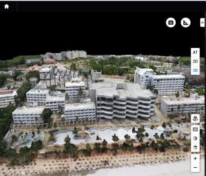
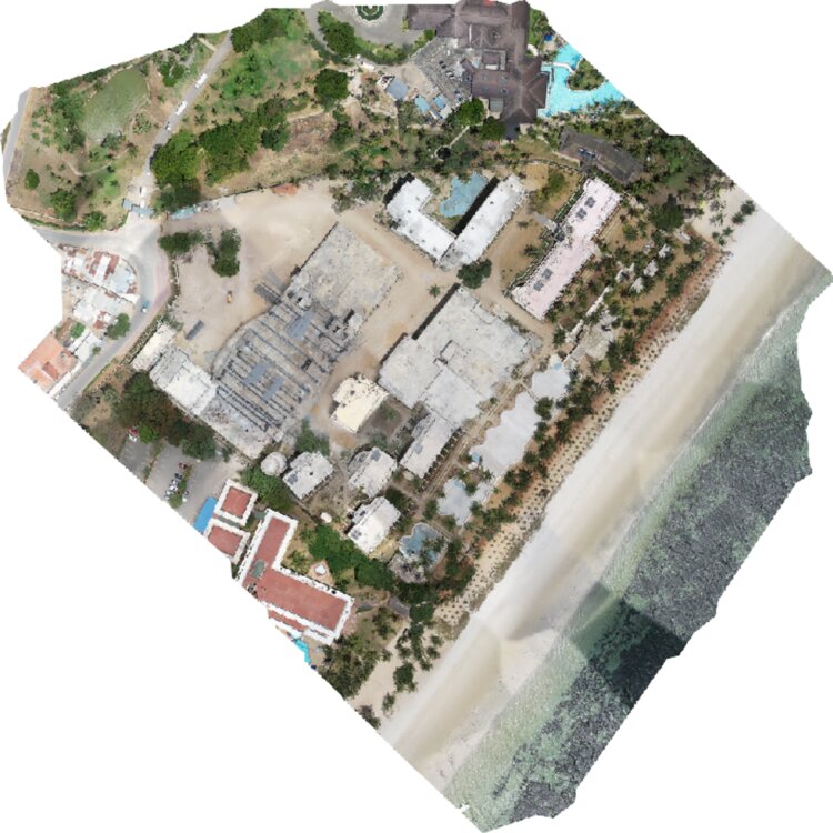
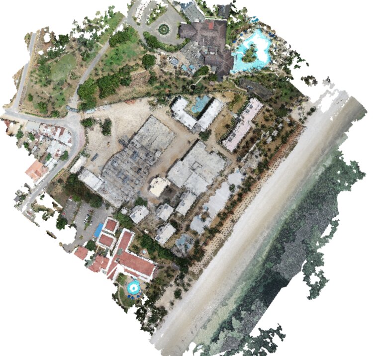
Combining aerial LiDAR with 3D oblique data capture, we modelled this beachfront property in full three dimensions — a walkable 3D model supporting topographical property assessment.
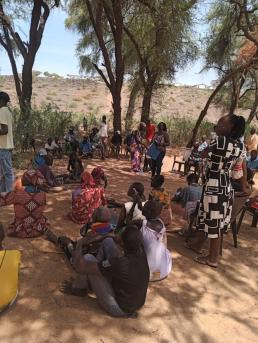
This assignment centred on community trust: engagement sessions with residents in Lokichar came before cadastral survey, parcel beaconing, and topographical mapping across six settlements.
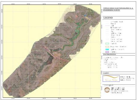
Mapped the full dam catchment area — motorable tracks, embankments, spillway structures, manholes, and inspection chambers — at 2.5m contour intervals, to engineering-grade accuracy.
Aerial LiDAR & orthomosaic production, Konza–Malaa–Thika–Gilgil corridor
Cadastral survey & beaconing, Garissa County
Canal mapping across 2,500 acres, Taita Taveta County
Aerial LiDAR mapping, Nairobi
Settlement mapping & land tenure support — Laikipia, Meru, Tana River & Nakuru
Topographical aerial survey, Mombasa County
Town aerial map, Taita Taveta County
Send us the location and scope, and we will tell you exactly what it takes to map it right.